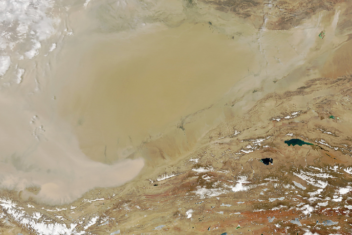
Strong winds kicked up sand and dust from China’s vast Taklimakan Desert.
Published May 20, 2024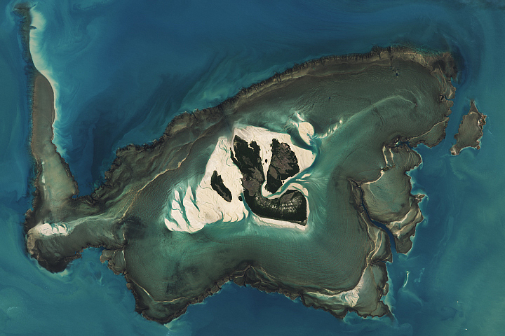
Large tidal swings expose a plateau-shaped reef around Australia’s Yawajaba island at low tide.
Published May 18, 2024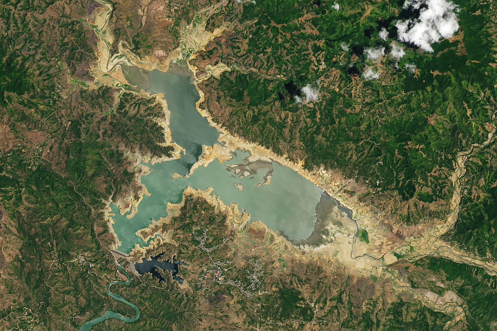
Searing temperatures and little rain reduced water levels of Pantabangan Lake, one of the country’s largest reservoirs.
Published May 11, 2024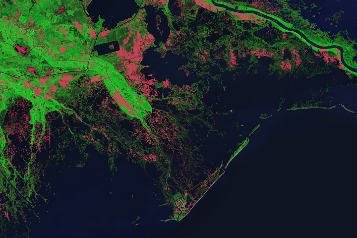
Scientists have been tracking how strong storms have eaten into the Gulf state’s coastline.
Published May 13, 2024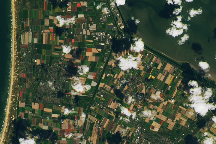
The peak of the blooming season brought vibrant colors to the Dutch landscape.
Published May 4, 2024