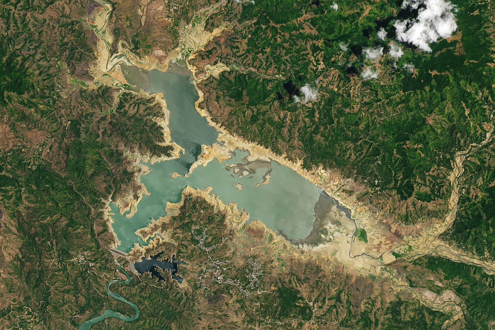
Searing temperatures and little rain reduced water levels of Pantabangan Lake, one of the country’s largest reservoirs.
Published May 11, 2024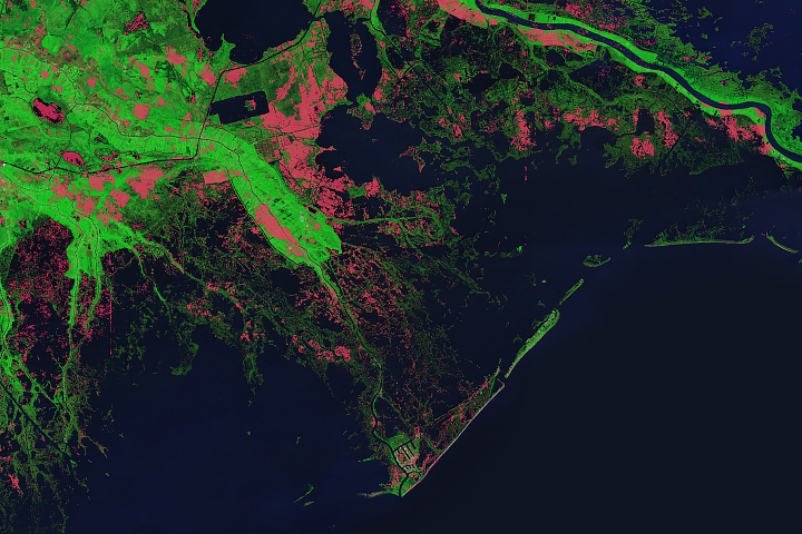
Scientists have been tracking how strong storms have eaten into the Gulf state’s coastline.
Published May 13, 2024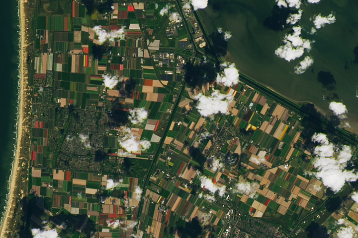
The peak of the blooming season brought vibrant colors to the Dutch landscape.
Published May 4, 2024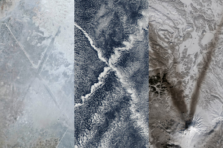
Over the past two and a half decades, EO has published more than 18,000 image-driven stories. This video highlights some of our favorites.
Published Apr 29, 2024Image of the Day Atmosphere Land Water Human Presence Snow and Ice Videos
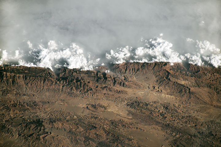
Clouds and haze crash into high-elevation ridges in this oblique photograph, taken by an astronaut on the International Space Station.
Published Apr 28, 2024